
SEASON OUTLOOK
El Niño winter 2026–27: what a very strong event could bring.
NOAA gives better than 90 percent odds of a very strong El Niño this fall and winter. That tilts the odds toward a wetter, stormier southern U.S. It does not guarantee one.
The short answer
A strong El Niño strengthens the subtropical jet stream and steers more storms across the southern United States. NOAA’s current outlooks favor a wetter-than-normal winter from California across the southern Plains and Gulf Coast into the Southeast and up the Atlantic coast, with the highest odds over southern Georgia and northern Florida. Texas and the southern Plains lean wet. Northern states lean warm. This event also has an unusual feature, a negative Pacific Decadal Oscillation, that could blunt some of the classic impacts.
El Niño: seasonal odds, not a local forecast
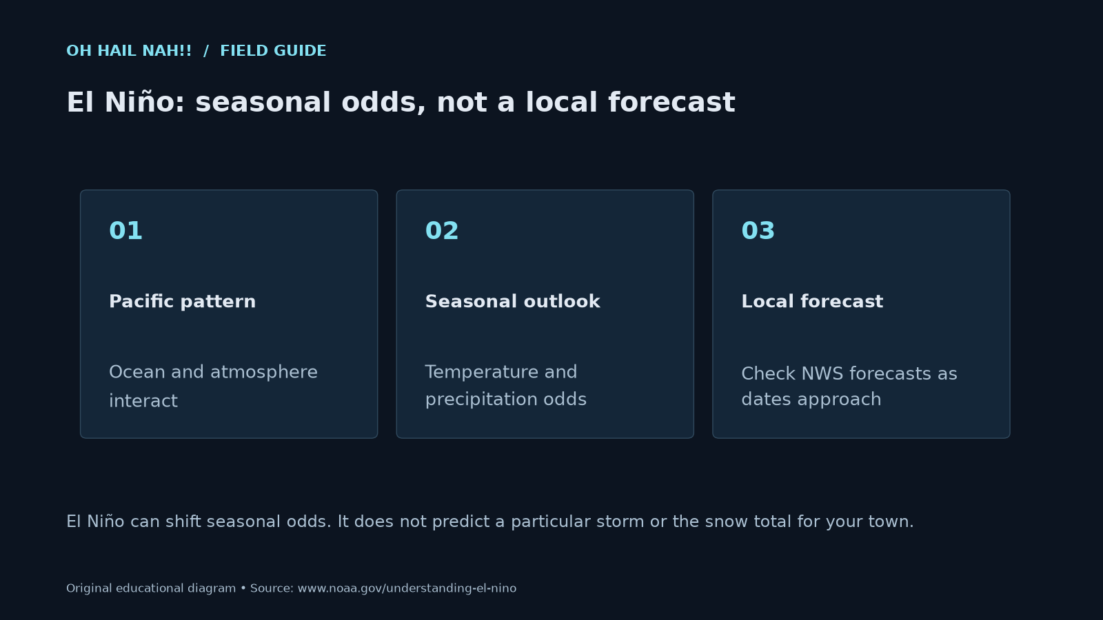
El Niño can shift seasonal odds. It does not predict a particular storm or the snow total for your town.
Where El Niño stands
This page reflects NOAA Climate Prediction Center products issued September 10 and September 17, 2026. We will update it after the next ENSO discussion on October 8 and the next seasonal outlook on October 15.
- An El Niño Advisory is in effect. El Niño is present and still strengthening.
- Better than 90 percent chance of a very strong event this fall and winter.
- 75 percent chance that October through December will be stronger than any El Niño on record back to 1950, measured by a three-month Relative Oceanic Niño Index of +2.5°C or more.
- Sea surface temperatures more than 3°C above normal in the eastern equatorial Pacific. The latest weekly Niño-3.4 value was +2.0°C.
The Climate Prediction Center adds a caveat worth repeating: with an event this strong, the chances of typical El Niño impacts are larger, but they are not guaranteed.
Where a wetter winter is favored
Seasonal outlooks give the chance that a three-month period ends up above normal, near normal or below normal. With no signal, each has about a one-in-three chance. The further a bar sits to the right of that line, the stronger NOAA’s lean.
Highest odds of above-normal precipitation, late fall through early spring
Maximum probabilities in NOAA’s outlooks for November–January through February–April, issued September 17, 2026
The gray line marks the one-in-three chance with no signal. California odds are for December–February through February–April.
Show as a table
| Region | Max chance of above-normal precipitation |
|---|---|
| Southern Georgia and northern Florida | 70–80% |
| California, near the coast | 50–60% |
| Southern Plains, including Texas | 40–50% |
The wet signal also reaches the Four Corners, the Gulf Coast and the lower Mississippi Valley, and runs north along the Atlantic coast into New England. Two weak dry signals show up over the interior Northwest and the Great Lakes. NOAA noted that California’s odds may be raised in October, and the wet area could reach as far north as central Oregon.
Temperatures
| Region | Fall (Oct–Dec) | Winter into early spring (Nov–Jan to Feb–Apr) |
|---|---|---|
| Northern tier and interior Northwest | Leans warm | Leans warm; highest odds 50–60% |
| Southern Rockies, southern Plains, lower Mississippi Valley | Equal chances | No strong lean; warmth is favored farther north |
| Southeast | Leans slightly warm | Near normal favored |
Seasonal outlooks describe three-month averages. A warm-leaning winter can still include hard freezes and cold outbreaks.
What that could mean on the ground
More rain on the same ground
A southern storm track means storm after storm crossing the same areas. In Texas and along the Gulf Coast, that raises the odds of repeated heavy rain events, and flash flooding does not take the winter off. Our guide to Flash Flood Emergencies covers what to do when the water rises fast.
Winter severe weather along the Gulf and in Florida
A stronger jet stream over warm, moist Gulf air is a setup for winter severe storms. In an analysis of Florida tornado reports from 1950 to 2009, the NWS office in Tallahassee found about 15 tornadoes a year under El Niño, nearly twice the count in neutral and La Niña years, and about 20 tornado events a year in strong El Niño years. The deadliest tornado outbreak in Florida history, on the night of February 22 to 23, 1998, came during the very strong 1997–98 El Niño and killed 42 people.
NWS meteorologists caution that El Niño alone cannot predict an outbreak. What it does is load the odds, which is a good reason to have alerts that wake you up set before the season starts.
Coastal storms and big surf
On the West Coast, the 2015–16 El Niño is the cautionary tale. Winter beach erosion across 29 beaches from Washington to Southern California ran 76 percent above normal, and most California beaches eroded past their historical extremes, according to the U.S. Geological Survey. Yet Southern California got about 70 percent less rain than in the two previous big El Niños. A strong event can bring damaging waves without bringing the rain people hope for.
On the East Coast, NOAA’s wet signal extends up the Atlantic seaboard, where coastal storms bring heavy rain, wind and coastal flooding.
Why this El Niño may not follow the script
The three strongest El Niños since 1950, in 1982–83, 1997–98 and 2015–16, all happened while the Pacific Decadal Oscillation was positive, which tends to reinforce El Niño’s effects. This time the PDO is strongly negative, with an August index of −1.11. The Climate Prediction Center says that could dampen typical impacts in some areas.
The patch of warm water that usually sits in the Gulf of Alaska during strong El Niños has also shifted west, which may let slightly cooler water influence parts of the West Coast. Put simply, past super El Niños are useful guides, not templates.
What to do now
- Check flood insurance. Homeowner’s policies do not cover flooding, and a new National Flood Insurance Program policy typically takes 30 days to take effect.
- Clear gutters and drains before the wet season, and move valuables off the floor in flood-prone spaces.
- Set up overnight alerts. Winter storms along the Gulf Coast often arrive after dark.
- Watch the monthly updates. The next ENSO discussion is October 8 and the next seasonal outlook October 15.
- Plan for weeks, not the season. A seasonal outlook tilts the odds for three-month totals. It cannot tell you when a specific storm will hit.
Questions people ask
How strong will the 2026–27 El Niño be?
As of September 2026, NOAA’s Climate Prediction Center gives better than a 90 percent chance of a very strong El Niño this fall and winter, and a 75 percent chance that October through December will exceed every El Niño on record back to 1950.
Does El Niño mean a wet winter for Texas?
It raises the odds. NOAA’s current outlooks give the southern Plains, including Texas, up to a 40 to 50 percent chance of above-normal precipitation through winter, compared with about 33 percent in a year with no signal. Wetter is favored, not guaranteed.
Does a strong El Niño mean more tornadoes in winter?
In Florida and along the Gulf Coast, strong El Niño winters have historically brought more severe weather because the jet stream sits farther south and is stronger. NWS meteorologists caution that El Niño alone cannot predict individual outbreaks.
What is RONI?
The Relative Oceanic Niño Index measures sea surface temperatures in the central equatorial Pacific (the Niño-3.4 region) relative to the average across the whole tropics, rescaled to match the traditional index. NOAA now uses it to rate El Niño strength because overall ocean warming can make the traditional index read high.
When will El Niño end?
NOAA expects it to weaken significantly by March through May 2027, possibly returning to neutral conditions later in the spring.
Keep reading
Sources
- NOAA Climate Prediction Center, ENSO Diagnostic Discussion, September 10, 2026.
- NOAA Climate Prediction Center, Prognostic Discussion for Long-Lead Seasonal Outlooks, September 17, 2026.
- NOAA Climate Prediction Center, Relative Oceanic Niño Index.
- National Weather Service Tallahassee, El Niño and Florida.
- WUFT / Florida Public Radio Emergency Network, Building super El Niño to shape Florida’s winter.
- U.S. Geological Survey, Severe West Coast erosion during 2015–16 El Niño.
- FEMA Ready.gov, Floods.
These guides support personal planning. They do not replace official warnings, emergency services or local evacuation orders. When a warning is in effect for you, act on it first and read later. Official forecasts and warnings: weather.gov.
